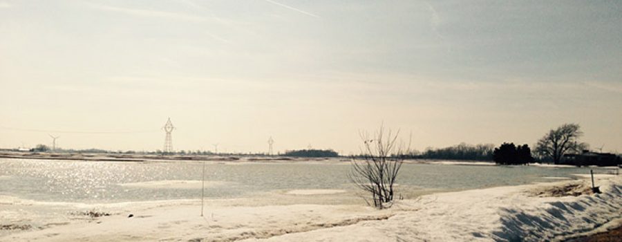
Weather forecasts are predicting a system to develop over southwestern Ontario that will drop large amounts of rain tomorrow through Wednesday. Predictions are calling for 20-30 mm of rain tomorrow, 15-30 mm of rain on Tuesday and 5-10 mm of rain on Wednesday. There is also the possibility of thunderstorms. Temperatures will remain well above freezing during this period with temperatures ranging from 8 C to 15 C, not dropping back below freezing until Wednesday night. In the Upper Thames watershed, there is approximately 40 mm of water stored in the snowpack ready to be released with the warm temperatures and rain. In the Lower Thames watershed, much of the snow was lost late last week but any remaining snow will melt during this event. The combination of prolonged heavy rains and snowmelt could lead to flooding not seen in a decade.
The heavy rains alone may lead to localized flooding in areas with poor drainage. Water levels on the smaller local watercourses in the Lower Thames will begin to rise tomorrow and many could spill out of their banks causing flooding in adjacent low lying area by the evening. The prolonged rains will keep water levels high through Thursday. Some local watercourses still have snow and ice accumulations that could block flows causing water to back up and leading to greater flooding. The Lower Thames Valley Conservation Authority will be operating the Indian-McGregor Creek Diversion Channel to protect the south end of the City of Chatham from flooding.
The Thames River will also rise and could reach levels not seen in a decade. Peak water levels in the City of London are expected Tuesday and Wednesday and will work their way downstream over the next few days reaching the Thamesville and Chatham areas Thursday and Friday. All along the Thames River from Delaware to Chatham, the low lying river flats will be flooded and in some areas could reach the upper table lands. Although estimates are very preliminary as the rainfall hasn’t even fallen yet, water levels could be similar to those observed during the 2008/2009 flood of the Thames River. Through Middlesex and Elgin Counties there could be flooding issues around bridge crossings and water will back up local watercourses. Flooding is not currently expected for the community of Thamesville, but if conditions worsen there is that potential. In the City of Chatham basement flooding for those businesses backing onto the Thames River along King St. is expected. It is also very likely that there will be flooding on some of the low roads adjacent to the Thames such as Siskind Court, the area around William and Water, Salter and the low portion of Thames St along the river. Water levels in the downstream areas can be expected to remain high all through next weekend. The Lower Thames Valley Conservation Authority will be operating the 6th Street Backwater Dam and Pumping Station in downtown Chatham to protect the low lying portions of the city upstream on McGregor Creek.
Last week ice thickness measurements were taken on the Thames River. On average there was 18 cm of ice thickness with about 8 cm of that being poor quality white ice. Ice cover on the Thames River will melt, break up and move downstream. With the warm conditions and rain, the remaining ice isn’t expected to have enough strength to cause any significant ice jams. However, it could cause flow restrictions leading to elevated water levels in the areas of accumulation.
Residents with properties that back onto watercourses and the river should secure their properties and remove any items that could be damaged by flooding or get loose and become floating debris. Attempts should also be made to ensure that catch basins and other drainage works are free of debris and can function properly.
People should take extra caution and avoid the river, ditches, and streams. The combination of slippery banks, broken up or degraded ice, and fast moving cold water can be dangerous. Standing water can also present its own unseen hazards. Children, pets and livestock should be kept away from the water.
Officials will continue to monitor the situation and update this advisory if necessary.
This message will be in effect until February 21st, 2018.
Contact: Jason Wintermute ([email protected], 519-354-7310 x227) regarding this message.

