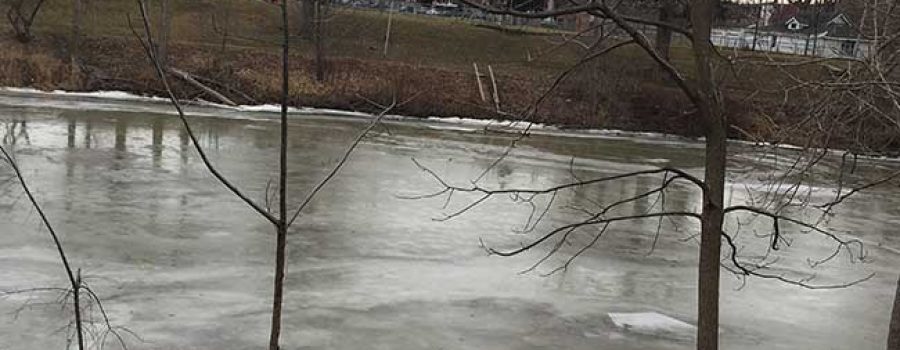
Current weather forecasts are calling for rainfall amounts, in the Lower Thames watershed, totally between 15 and 35 mm tonight through Tuesday night. Rainfall predictions for the upstream areas of the watershed are predicted to be on the lower end. The accumulated snowpack has water contents varying from just a few mm to upwards of around 10 mm, with more snow in the upstream areas. Together with frozen ground conditions, this amount of water could lead to localized flooding.
If the predicted rainfall amounts appear, smaller local watercourses can be expected to rise due to the rainfall and snowmelt and some may reach bank full conditions or spill their banks. Some of the local watercourses have frozen over again which could create blockages and aggravate the situation. If the higher amounts of rainfall appear, the Lower Thames Valley Conservation Authority would expect to be operating the Indian-McGregor Creek Diversion Channel to prevent flooding in the south end of the city of Chatham.
Water levels on the Thames River itself are not expected to be significantly affected by the predicted rainfall. Nor is there enough ice cover to expect any problems with ice jamming.
People should take extra caution and avoid the river, ditches, and streams. The combination of slippery banks, unstable ice and fast moving cold water can be dangerous. Standing water can also present its own unseen hazards. Children, pets and livestock should be kept away from the water.
Officials will continue to monitor the situation and update this advisory if necessary.
This message will be in effect until February 9th, 2017.
Contact: Jason Wintermute (519- 354-7310 x227) regarding this message.

