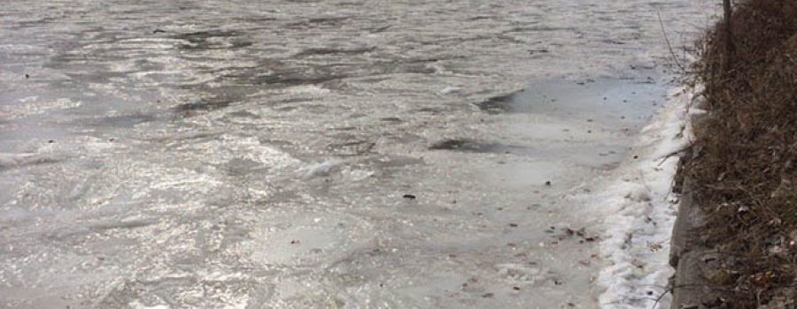
Yesterday, the Lower Thames Watershed received up to 10 cm of snow followed by up to 10 mm of rainfall. Much of the snow has already melted away. Rainfall forecasts are calling for another 15 to 30 mm of rainfall later today and tomorrow, with most of that occurring overnight. Temperatures are expected to remain above freezing during this period and are predicted to reach highs of 5 to 8 degrees Celsius.
With the increase in temperatures and rainfall, the smaller local watercourses can be expected to rise. As most of these watercourses still have ice cover, the ice can be expected to melt, break up and flow away. Localized flooding may occur due to the potential rainfall volumes aggravated by any drainage blockages. Depending on the actual amount of rainfall received and its timing, the Lower Thames Valley Conservation Authority may need to operate the Indian-McGregor Creek Diversion Channel.
Water levels on the Thames River can also be expected to rise in response to this event. Water levels on the Thames River in the City of London are expected to peak on Thursday and into Friday. As this water makes it way downstream, water levels can be expected to remain high through the weekend and into early next week. Water levels are not expected to raise enough to flood the low lying, dominantly agricultural river flats. Ice cover on the Thames River can be expected to melt, break up and flow away.
People should take extra caution and avoid the river, ditches, and streams. The combination of slippery banks, unstable ice and fast moving cold water can be dangerous. Standing water can also present its own unseen hazards. Children, pets and livestock should be kept away from the water.
Officials will continue to monitor the situation and update this advisory if necessary.
This message will be in effect until January 18th, 2017.
Contact: Jason Wintermute (519- 354-7310 x227) regarding this message.

