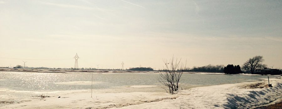
Yesterday and overnight the Lower Thames watershed received only a few mm of rain. An additional 10-25 mm of rain is expected today through tomorrow morning before it changes over to snow, with the higher amounts of rainfall predicted in the west. Yesterday’s warm temperatures are expected to continue today, with temperatures between 6-8C, and then begin to fall tomorrow morning until temperatures fall below freezing again tomorrow afternoon. The Thames River at Lighthouse Cove has approximately 30 cm of ice cover and many of the region’s smaller watercourses are filled with snow and ice.
The warm temperatures and predicted rain could melt much of the remaining snow from the lower watershed. Localized flooding may occur where the snow and ice has blocked flows in the region’s smaller watercourses. Localized flooding may also occur in urban areas where catch basins are blocked with snow and ice.
Water levels will rise on the Thames River due to the melting and elevated water levels can be expected into early next week as the water from the Upper Thames makes its way downstream. Ice jam related flooding on the Thames River is not expected at this time. While the ice on the Thames River has reached a thickness that has historically allowed for ice jams, the flow on the river is not expected to be high enough.
People should take extra caution and avoid the river, ditches, and streams. The combination of slippery banks, unstable ice and cold water can be dangerous. Standing water can also present its own unseen hazards. Children and pets and livestock should be kept away from the water.
Officials will continue to monitor the situation and update this advisory if necessary.
This message will be in effect until January 16th, 2017.
Contact: Jason Wintermute (519-354-7310 x227, [email protected]) regarding this message.

