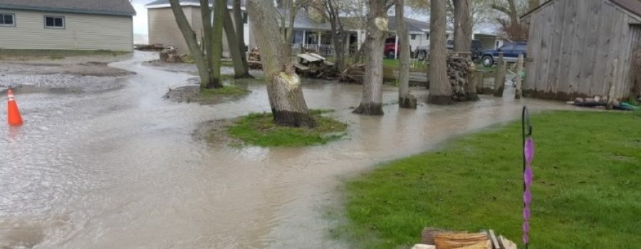
The Lower Thames watershed has received between 45 and 60 mm of rainfall over the last week. The Upper Thames watershed received slightly less. Weather forecasts are calling for a chance of rain every day from tomorrow through Sunday, but with only the potential for a few millimetres on any given day. Wind forecasts are not calling for strong winds before the weekend.
Water levels on the Thames River are falling fairly quickly from Delaware through Thamesville. The river is mostly back within its banks though Middlesex and Elgin Counties. The river in Thamesville peaked last evening and should be mostly back within its banks by tomorrow afternoon. Water levels in the City of Chatham peaked around midnight but are dropping more slowly. In Chatham, the downtown sidewalk along the river could be expected to remain underwater into late tomorrow.
Water levels on local watercourses are back down near to where they were before the rain event; other than in those areas receiving water backing up from the high Thames River. The Lower Thames Valley Conservation Authority is still operating the Indian-McGregor Creek Diversion Channel as water levels on the Thames are still too high in the area.
Water levels on Lake Erie and Lake St. Clair are still high but the forecasted winds are not strong enough to suggest any flooding problems along the shorelines.
People should take extra caution and avoid the river, ditches, and streams. The combination of slippery banks and fast moving cold water can be dangerous. Standing water can also present its own unseen hazards. Children, pets and livestock should be kept away from the water.
Officials will continue to monitor the situation and update this advisory if necessary.
This message will be in effect until May 12th, 2017.
Contact: Jason Wintermute (519-354-7310 x227, [email protected]) regarding this message.

